Residents of Priluzye District Ambitious to Embrace GIS Technologies
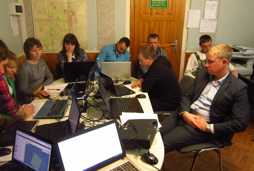
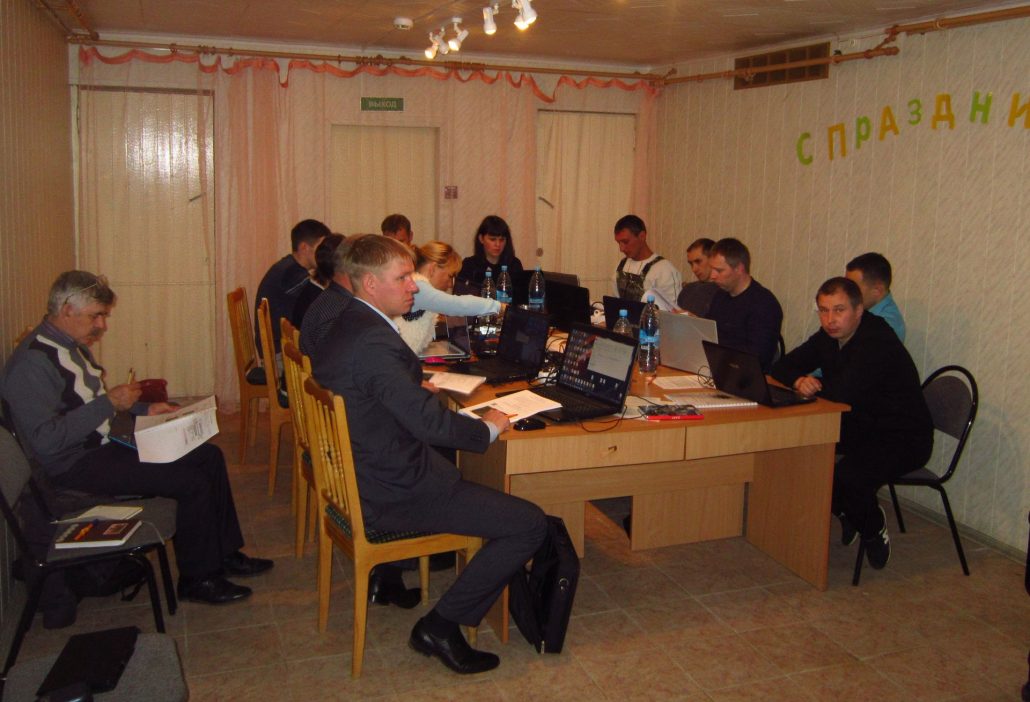
The Silver Taiga Foundation supported by WWF held a working session on Alternatives of Forest Resources and Forest Management Data Acquisition through Earth Remote Sensing in the village of Obyachevo, Priluzye district, at the Priluzye Forestry, on 16-17 October 2017.
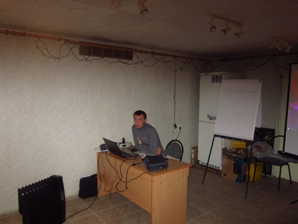
Nikolay Shuktomov, forestry projects coordinator, and Alexander Borovlyov, GIS expert, informed the participants of the workshop about the basics of geographic information systems, acquisition and processing of Landsat and Sentinel space images with SAS.Planet, they spoke about practical application of ERS data and how one can use the commonly accessible QGIS geoinformation system, they also showed some functions of the modern cartographic WEB services. A special focus was placed on legal aspects of GIS and ERS data application.
All the participants brought their laptops to the workshop. They were provided with the necessary software, and moreover each of them received a workbook developed by the Foundation’s staff for this purpose.
Among 13 participants there were district foresters and engineers of Priluzye Forestry, as well as representatives of the Public Forest Council of Priluzye district. All of them shared the opinion that the facilitators managed to raise the true interest of the audience to up-to-date GIS technologies. It had seemed at first that foresters, who use cartographic data in their work every day, could hardly be impressed with anything, but even they learned a lot for those 2 days. For example, they were trained to convert hard copies of cartographic data to a digital format. At the classes they compared the borderline of logging plots against space image data with the help of GPS navigators, as a result the coordinates matched successfully. Later on, foresters and engineers are planning to use the obtained skills to detect forest fires, identify illegal forest cutting and perform other forest surveying activities.
Social activists dealing with tourist route development and participating in allocation of high conservation value forest areas, such as, for instance, mushroom and berry collection sites, also got some extra skills useful for their work.
“The classes were structured in such a way that theory matched practice, and many of us lacked time to develop the skill. It would be better if more hours were devoted to practical tasks. As soon as I get an opportunity, I’ll sit at my computer to reproduce the whole sequence of actions by myself, but I am not sure that I’ll manage to recall all of them, even though I tried hard to make thorough notes like all other participants. It is great that the workshop was organized within two days; otherwise it would be difficult for the people to find more time to be out of work. Nevertheless, I would like the Foundation’s experts to keep on providing consulting support to the trainees after the session,” Konstantin Serditov, member of the Public Forest Council of Priluzye district, expressed his views.
“We surely understand that it is impossible to train people to conduct even basic operations within such a short period. To master the technique of GIS application you need much more time. It should be also noted that the audience was very diverse, with different competence levels. We need to be more scrupulous, when we put groups together, they really need to be more homogeneous. Later, we will adjust the curriculum based on the qualification and professions of the participants,” said Nikolay Shuktomov, forestry projects coordinator.
The public activists of Priluzye district suggest conducting similar courses with a similar agenda for activists and foresters of the Letka cluster. The residents of the district center are sure they will also be interested in GIS technologies.


