Silver Taiga Shared GIS Technology Basics with Forest District Residents
As the Silver Taiga Foundation promoting sustainable development believes, grasp of GIS technologies is necessary for rural residents eager to preserve forest areas that are most valuable for traditional use to be able to build meaningful communication with logging companies. In the middle of March the Foundation conducted a two-day “round table” workshop on GIS technology.
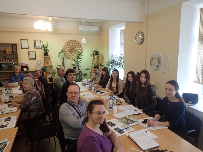
The workshop Potential of Forest Resources and Management Data Obtaining Through Earth Remote Sensing was arranged as part of the project Development of Competence and Community Involvement to Environmental Protection and Natural Resource Management at the North-West of Russia and Barents Region. Representatives of local communities (public forest councils, the Komi Voytyr interregional public movement), sole proprietors from Kortkeros, Priluzye, Syktyvdin, Udora and Ust-Kulom districts of the Komi Republic, and students of the Natural Science Institute, Syktyvkar State University, 20 people in total, took part in the “round table” training session.
“Unfortunately, local communities lack the needed skills and knowledge to handle cartographic data. They do not know the information that is openly available in the Internet and have no possibility to share the accumulated data with other participants of forest relations. The Komi Republic knows cases of disputes between the local population and logging companies because rural residents could not delineate traditional use forest areas which were considered necessary to be preserved from cutting. Villagers got used to allocate whole compartments of the forest areas interesting for them, while it was enough to take only minor areas used for hunting, mushroom or berry collection under protection. At the same time, logging companies find it unacceptable to exclude such huge areas from the intensive forest management territory. Grasp of GIS technology and use of cartographic web services will allow business and local communities to develop a dialogue based on detailed information and find optimal solutions for both parties,” says Nikolay Shuktomov, Silver Taiga’s forestry coordinator.
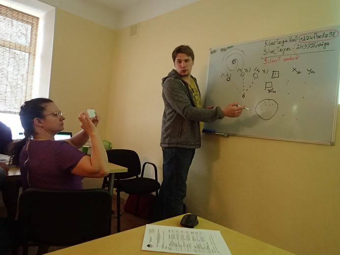
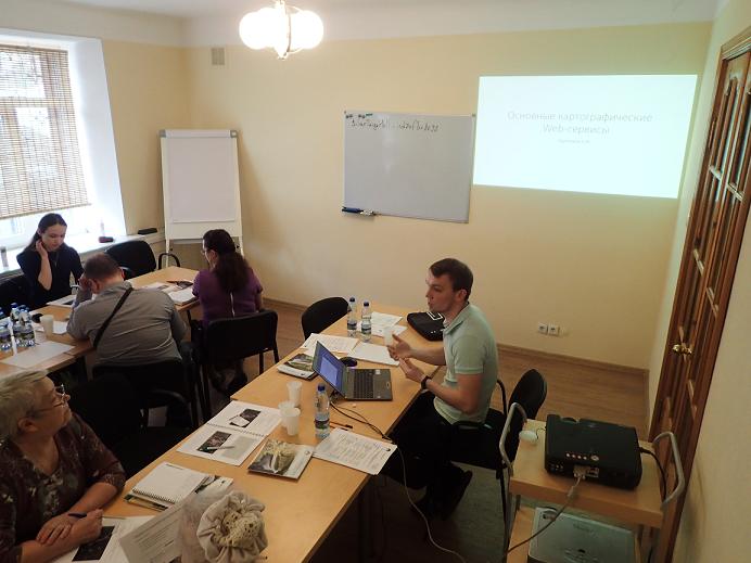
During the workshop, he and the Foundation’s GIS specialist Alexander Borovlyov informed the participants about basic cartographic concepts and definitions, open Internet sources, and the principles of the Earth remote sensing (ERS) data decoding. The practical tasks taught the workshop participants to create maps with the SAS.Planet software, exchange cartographic data, use navigators, apply GIS technologies to allocate traditional forest use areas. Though the time was limited, the Foundation’s members managed to work individually with each trainee.
“It is important that adequate use of GIS technologies allows more than just getting large amounts of information about different forest areas, it also makes it possible to simulate and plan further activities related to forest resource use,” Nikolay Shuktomov believes.
The trainees of the program noted that the information provided by the Foundation was made as comprehensible and easy to understand as possible. The feedback shows that GIS skills are highly demanded in remote rural areas, and not only in the Komi Republic. Therefore, a similar training workshop is planned to be held in the adjacent Arkhangelsk region in the near future.
Now, the Foundation has already compiled a cartographic data base including traditional forest use areas in some forested districts of the Komi Republic. The data are accessible for all activists interested, and harvesting companies. In the long-term perspective, the cartographic web service with traditional forest use areas is planned to be shared online at the Silver Taiga Foundation’s official website.


